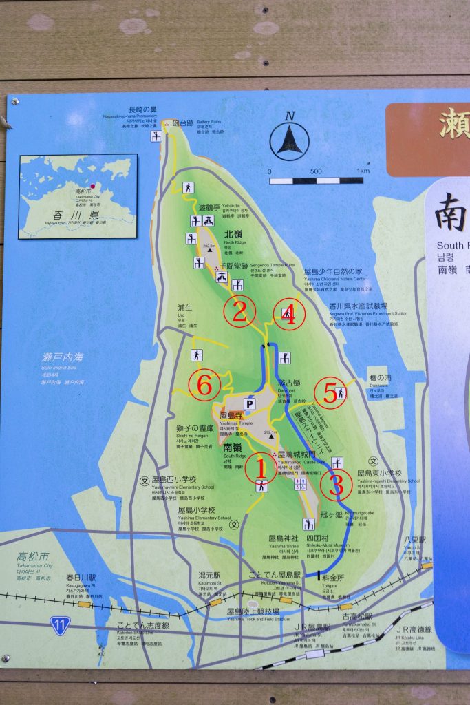
テーブルマウンテン、屋島山上をハイキング!Table Mountain has a 4km promenade, and let’s hike on Mt. Yashima overlooking the Seto Inland Sea!
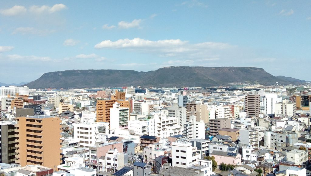
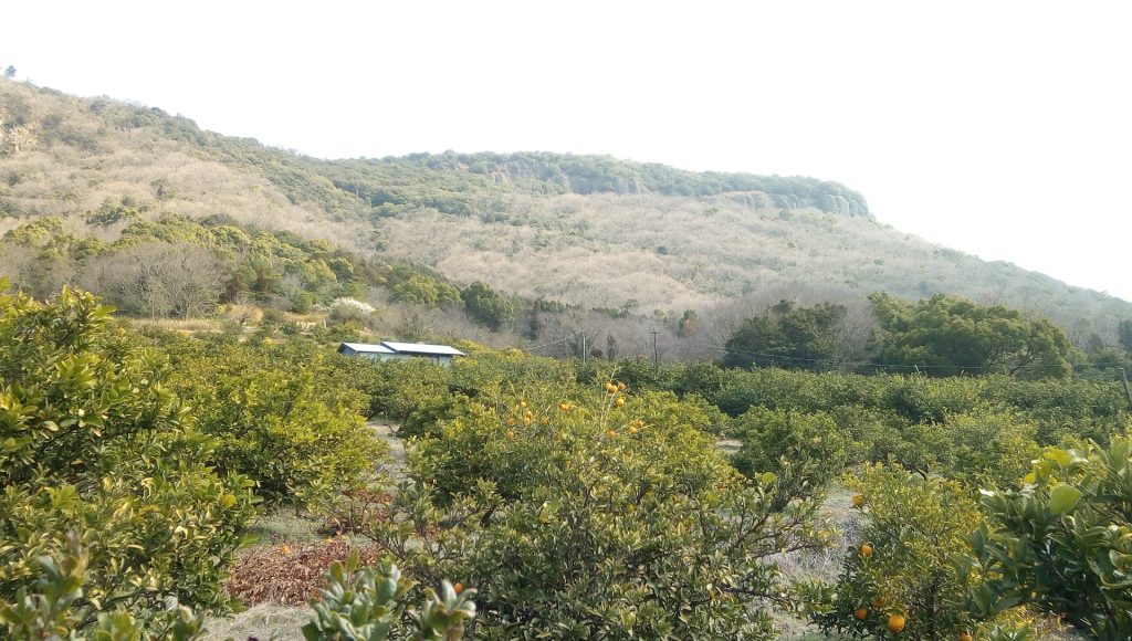
屋島山上は平らな大地のようになっていおり、4kmもアップダウンのほとんどんない遊歩道が整備されています。多くの方は駐車場から屋島寺、高松市街を展望できる見晴らし、そして山上水族館などを一周する散策で終わりますが、3㎞北の北嶺まで行けば、真近に女木島や豊島、大島、さらには小豆島などが迫り、これぞ瀬戸内海という風景を見下ろすことができます。また、東側には庵治石で有名な五剣山も見られます。このような屋島山上を一周ハイキングし、山上テラスで高松市街と瀬戸内海を見下ろしながらゆっくりお茶しましょう。
The top of Mt. Yashima is like a flat land, and there is a promenade with almost no ups and downs for 4 km. Many people end up walking around Yashima Temple, the view of Takamatsu city from the parking lot, and the mountaintop aquarium. Shodoshima and other islands are approaching, and you can look down on the scenery of the Seto Inland Sea. You can also see Mt. Goken, famous for its Aji stone, on the east side. Take a hike around the top of Mt. Yashima and have a cup of tea on the terrace overlooking the city of Takamatsu and the Seto Inland Sea.
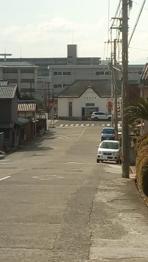
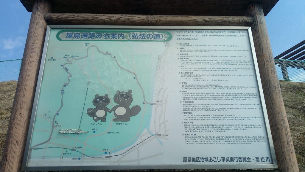
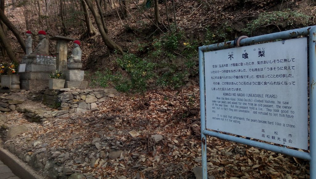
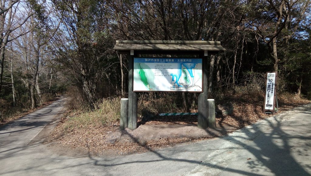
If you walk west from Kotoden Yashima Station for about 10 minutes, you will find a guide board for the pilgrimage road, and from here you will climb the approach to Yashima Temple.
The approach to Yashima Temple has been maintained like this.
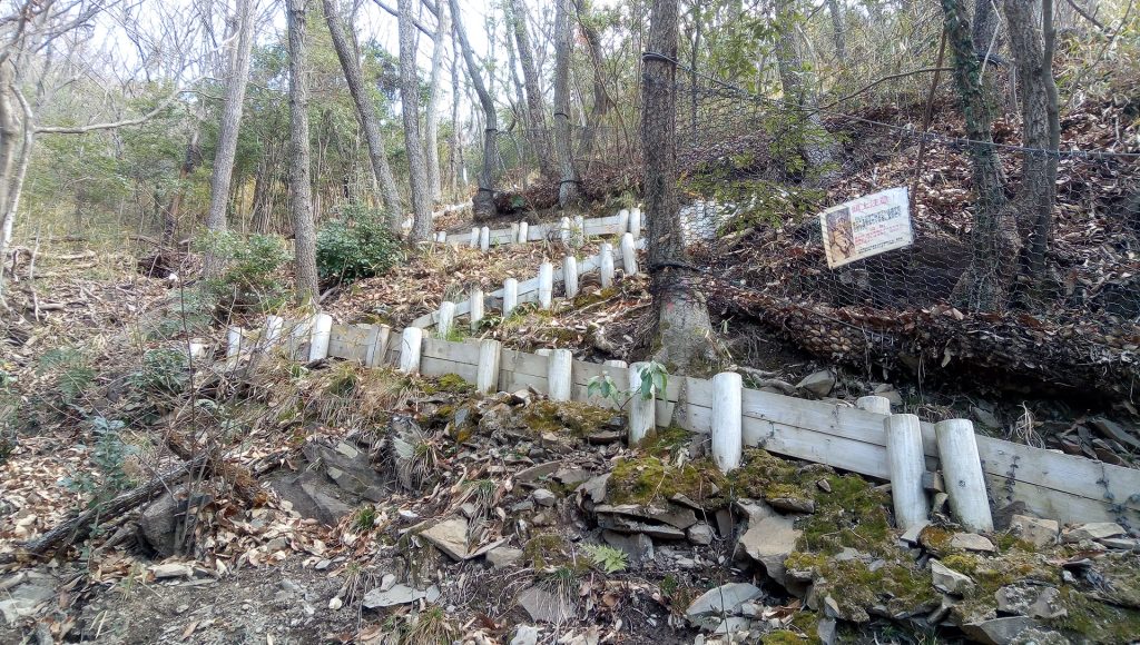
At this point, the road splits from the well-maintained approach to Yashima-ji Temple and climbs straight up to the remains of Yashima Castle.
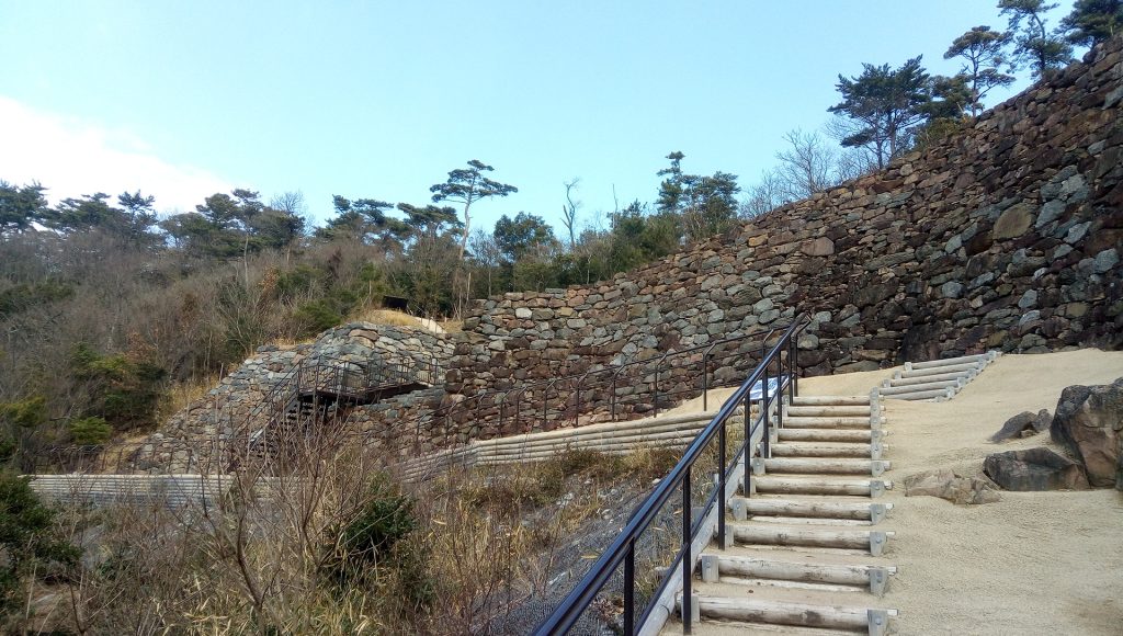
After a 20-minute climb up the steep mountain trail, you will reach the ruins of the gate of Yashima Castle, which was built during the reign of Emperor Tenchi.
You can look down on the city directly below, and there is a sense of altitude. It is one of the mountain castles that Japan, which was defeated in the Battle of Shiramura, built in various places with a good view of the Seto Inland Sea in preparation for the invasion of Silla and Tang. A signal is raised from distant Kyushu to inform Yamato of an enemy attack as soon as possible.
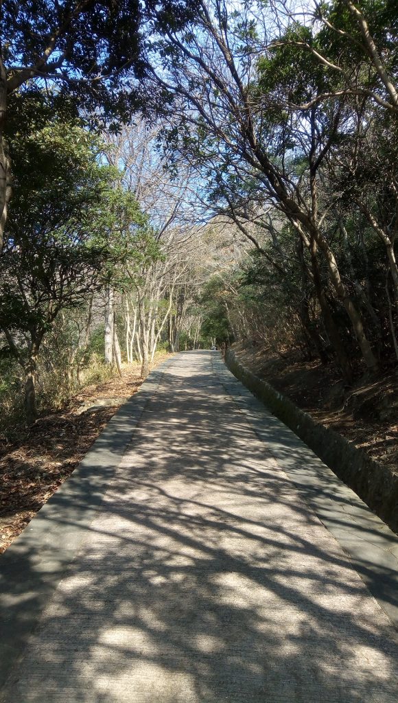
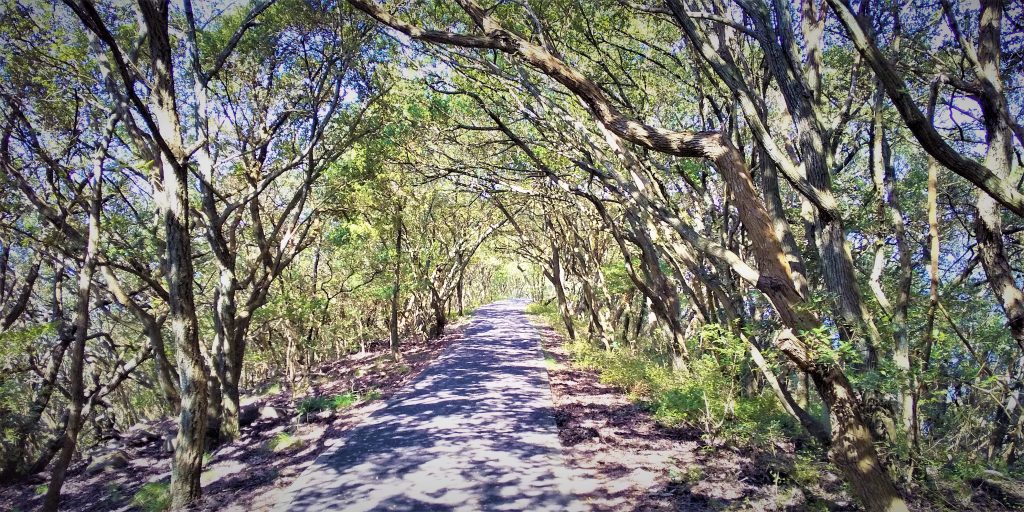
Behind the ruins of the Yashima castle gate, there is a promenade built on a flat plateau.
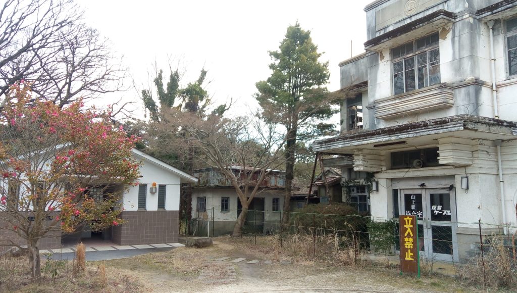
If you walk 10 minutes to the right (east) from the ruins of the Yashima castle gate, you will find the ruins of the mountaintop station of the former Yashima Cable, which is no longer in use.
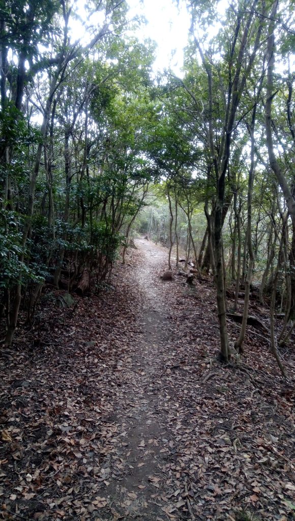
If you go east between the buildings of the former Yashima Cable Station, a pleasant mountain road continues.
After walking for 10 minutes on a pleasant mountain path, you will reach the summit of Kamigatake. Shido Bay can be seen from the east Mure at the tip of the roof-shaped rightmost gable.
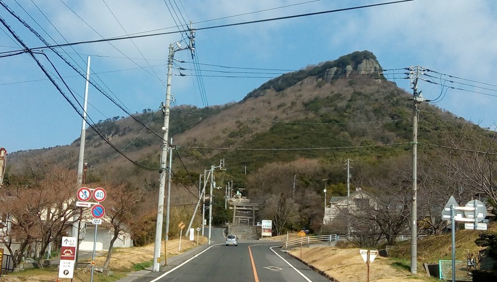
“Kanmugatake” looking up from around the entrance of the driveway at the foot of the mountain. That’s right, it’s on the highest cliff to the right of it.
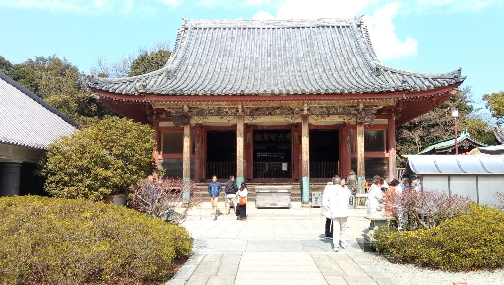
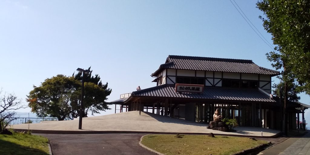
After walking back for less than 30 minutes on the paved promenade from Kanmugatake, you will arrive at Yashima Temple.
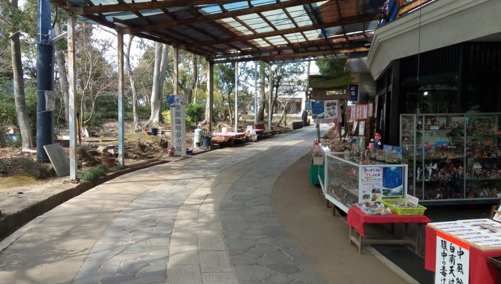
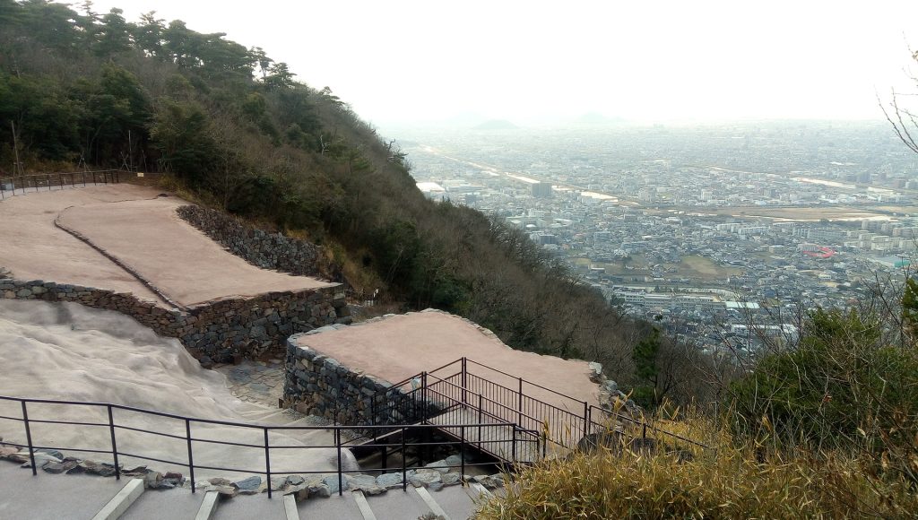
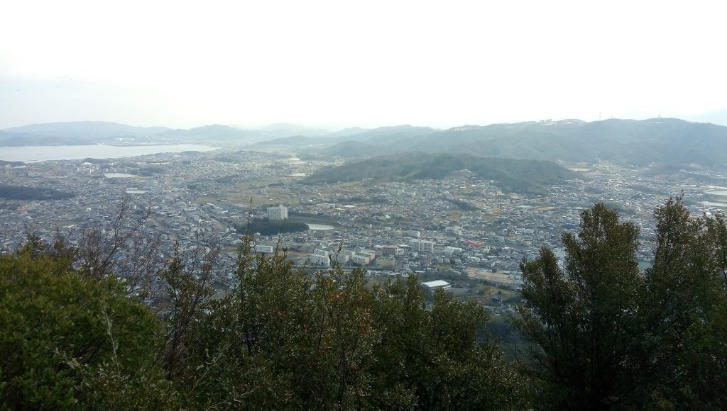
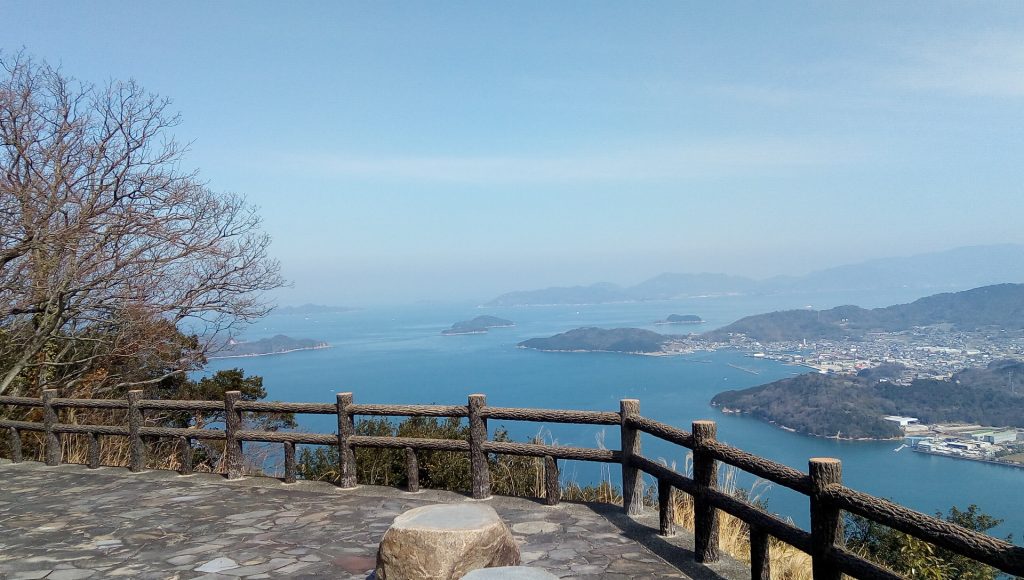
From Yashima Temple, you can take a sightseeing excursion course. If you walk between souvenir shops, you will reach a scenic point overlooking the city of Takamatsu to the west.
Takamatsu Guest House Akane is on the lower right of Mineyama across the front. It’s just over there where you can see the tall building of Takamatsu Station.
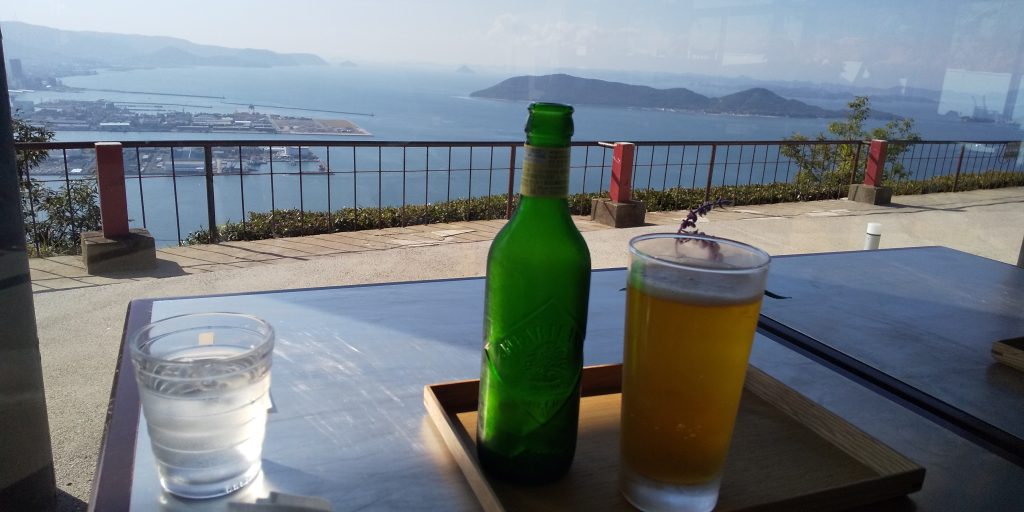
If the weather is good with such a superb view, I would like to have a drink.
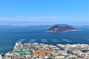
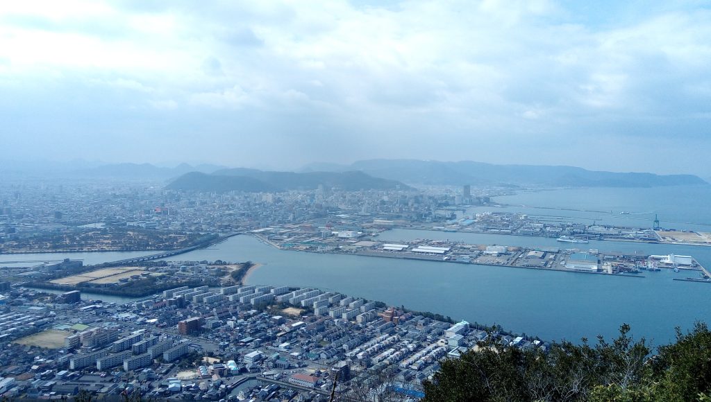
The promenade continues all the way to the parking lot, and eventually you will be able to see the islands of the Seto Inland Sea.
A 10-minute walk along the promenade will bring you back to the parking lot. In the north, the mountain range of the North Ridge continues.
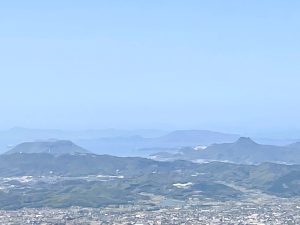
If you walk further for 10 minutes, you will reach Dankomine Observatory where you can see Aji in the east. Aji is famous for its tombstone “Aji Stone”, but now it may be more famous as a setting for the movie “Sekai no Chun de Ai wo Shouteru”.
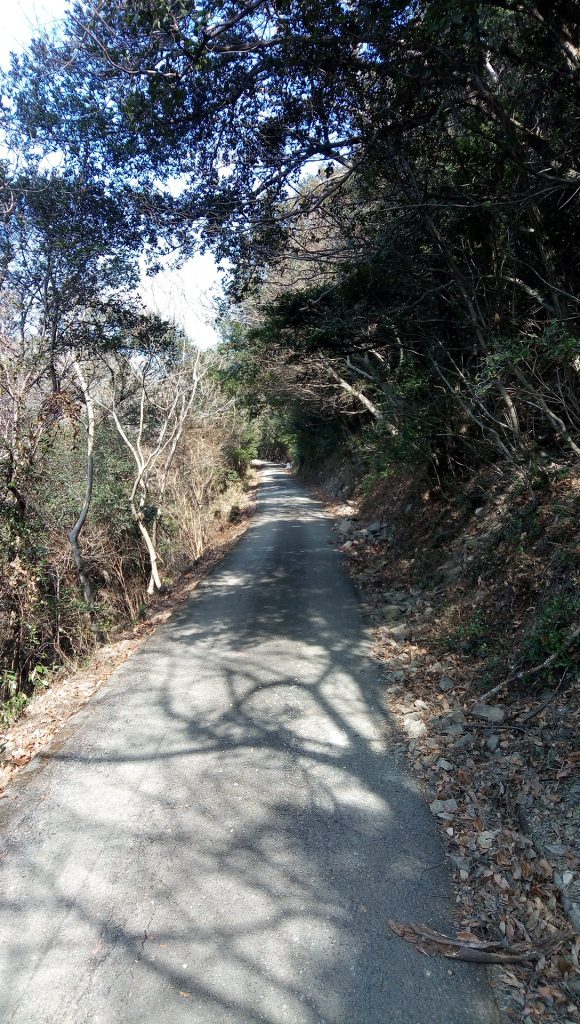
The promenade is maintained from here, but there are some loose ups and downs.
After walking for about 20 minutes, you will reach the branch to Hokurei no Hiroba.
After passing through the dense forest and getting light, the observatory at the tip of the northern ridge is just around the corner.
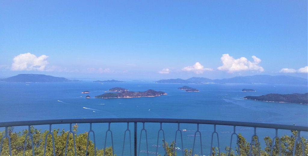
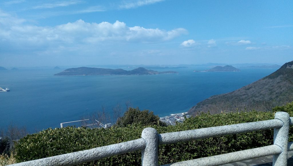
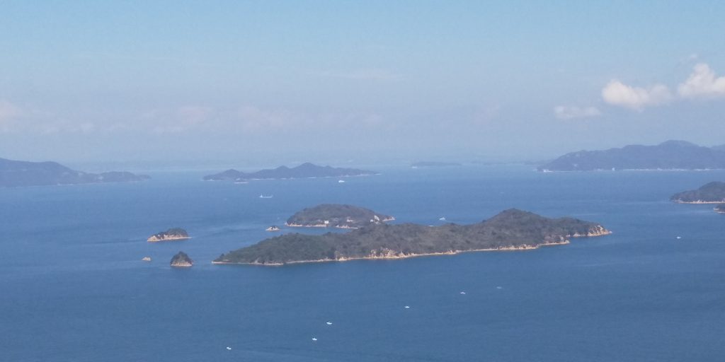
Arrive at Yukakutei! It is truly a superb view. In the center of the front is Oshima, which is famous for leprosy, and in the back left is Teshima, which used to be a hot topic for industrial waste and is now famous for art festivals. There are no shops or vending machines from the Yashima mountain top parking lot, so bring your own food and drinks. Although the promenade is well maintained, there are few people because there is quite a distance to here. However, if the weather is good, the scenery is spectacular, and it is an atmosphere where you want to enjoy the bento slowly.
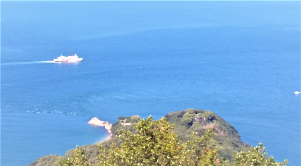
From Yukaku-tei, let’s stretch our legs to Nagasaki’s Hana-no-misaki overlooking directly below in the north.
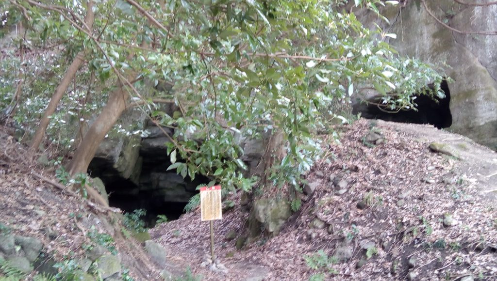
If you go down from Yukakutei for 10 minutes, there is a cave that is currently closed to the public. It may have been a pirate’s stronghold because it continues endlessly in the back and a stone wall was built. There was also a legend that it was connected at the bottom of the sea to a cave on Megijima across the sea.
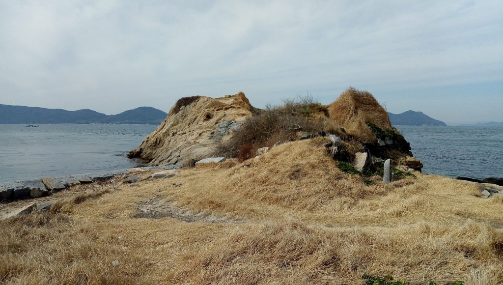
If you go further down for 30 minutes to the tip of the cape, you will reach the nose of Nagasaki, which was the site of a battery at the end of the Edo period.
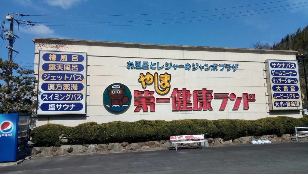
From Nagasaki no Hana, walk west around Yashima for 2.6 km, about 40 minutes, and you will reach Yashima Daiichi Kenko Land, where you can take a bus. (There are few bus services, and please check whether it is open due to the influence of corona before using it.)